Our new release is out and we’ve implemented many things which you have told us are very important. Thank you for making our application better and for pointing out our mistakes. Keep doing what you do, we love it and appreciate it.
Some quick technical updates for you:
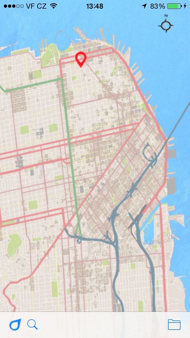
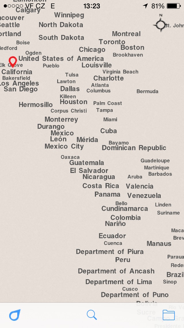
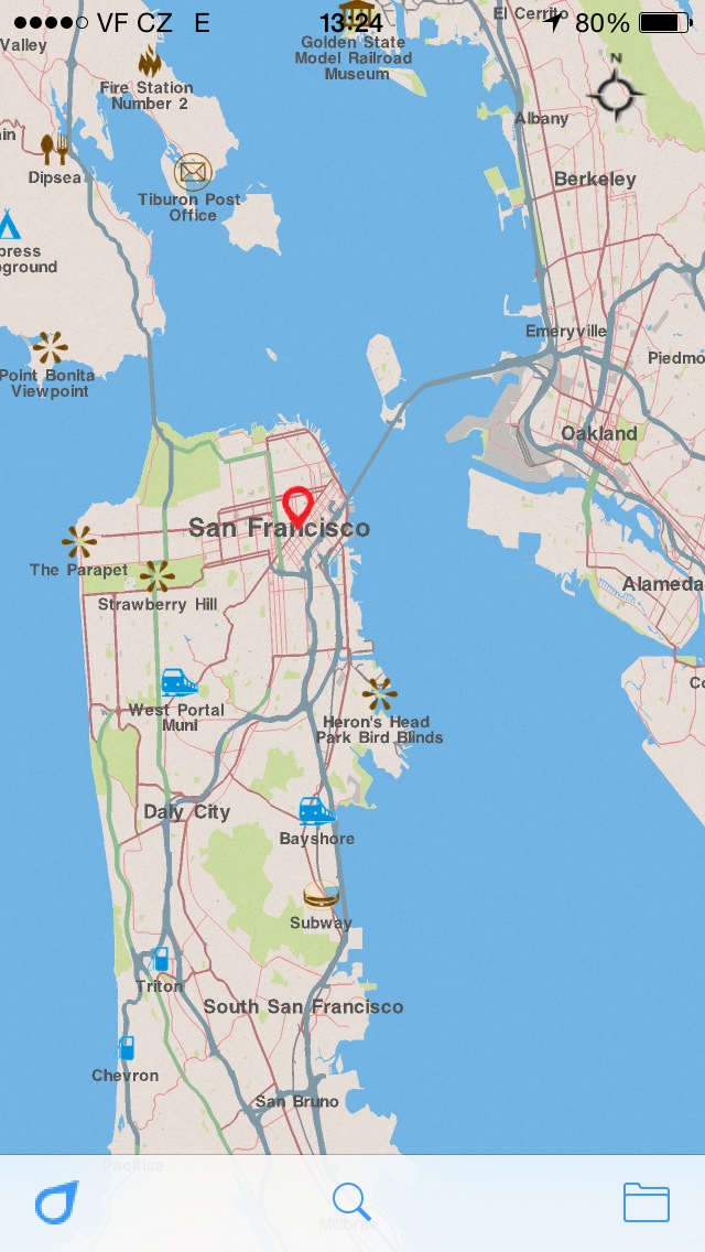
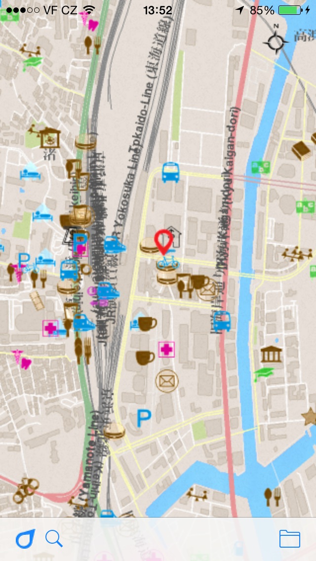
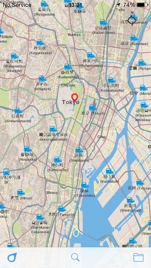
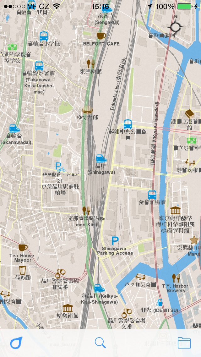
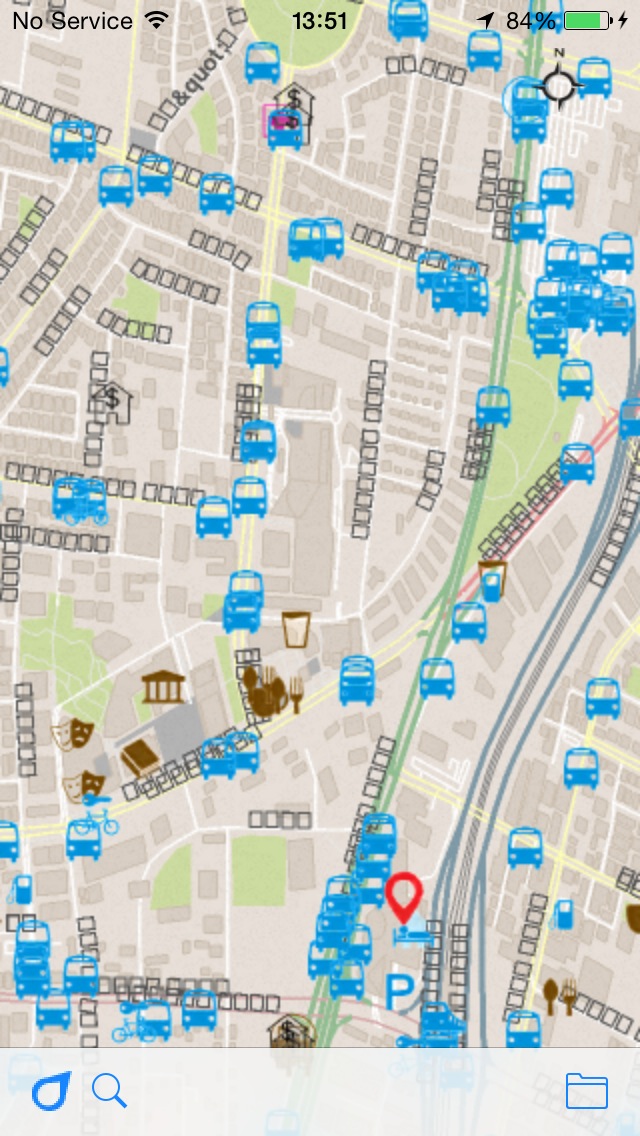
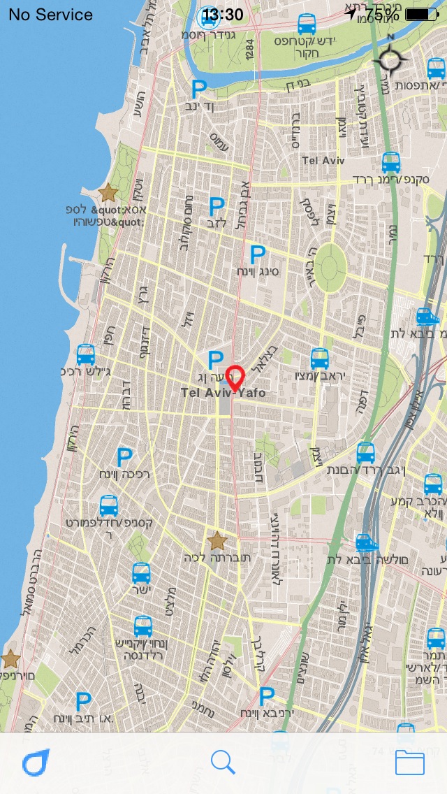
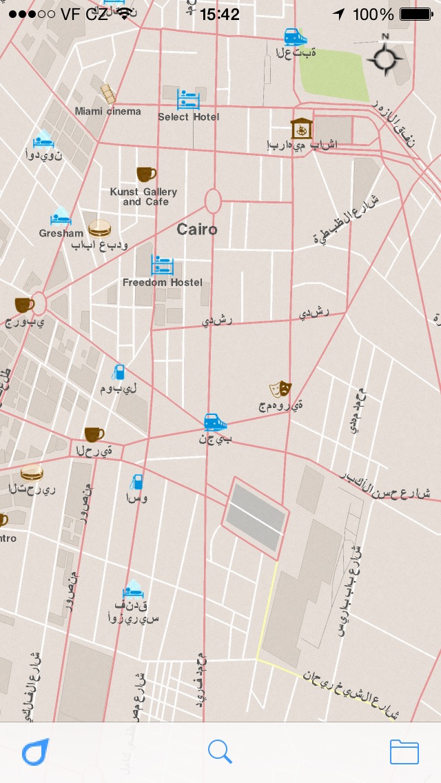
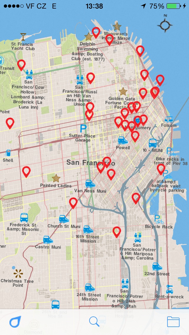
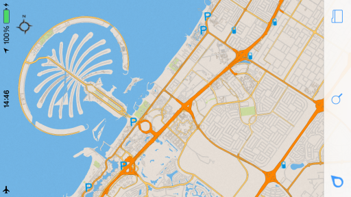
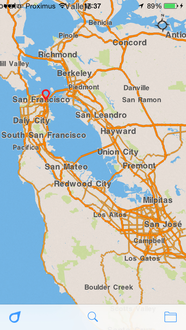
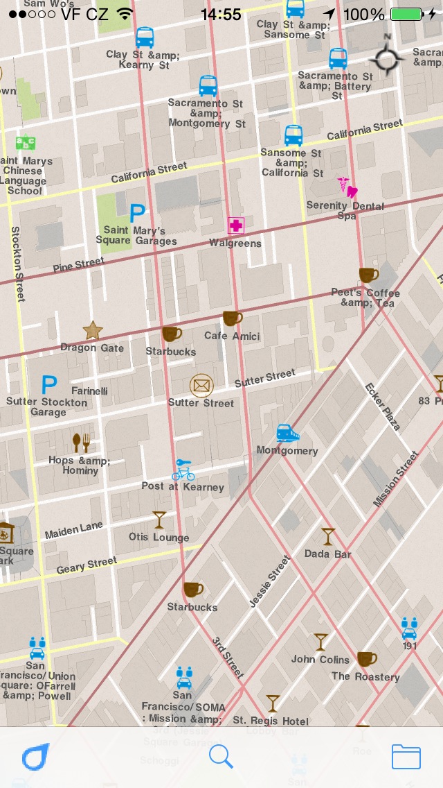
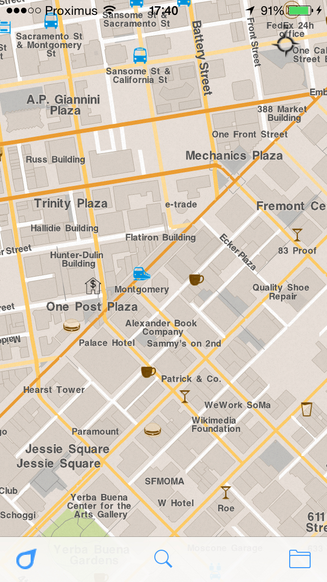
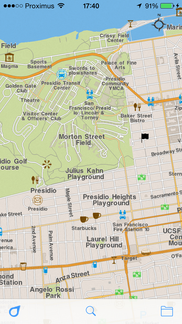
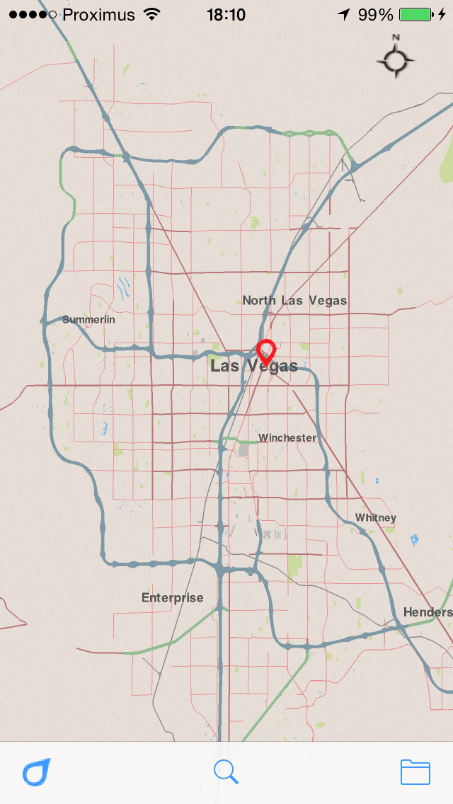
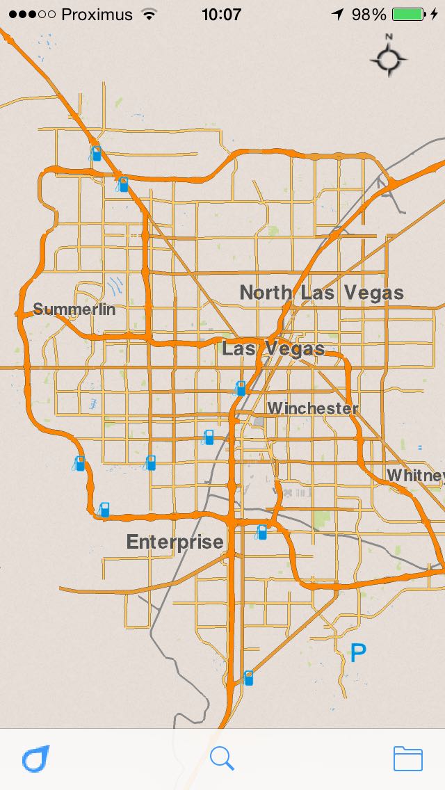
The main visual differences is: new style and prioritized POIs(points of interest) on the map. Also a map projection was fixed.
| Before | Now |
| Style | |
 |
 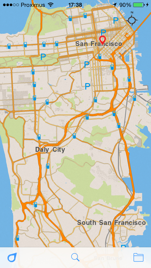 |
| Points of Interest | |
 |
  |
| The projection fixes | |
 |
 |
| Tokyo | |
 |
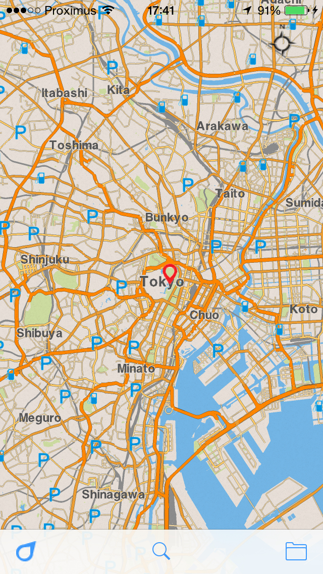 |
We also fixed some maps for Africa.
Again, your feedback is very important to us. Every piece of feedback goes straight back into helping improve the next version.
Install/Update kMaps now, share your experiences and impressions with your friends, and don’t hesitate to review the app on the AppStore or send some feedback to support@kmaps.co
We would like to give a special thanks to Ralph Hill, Abel La O Fernandez and Bonnie MacPherson. You have contributed great feedback which has lead to this improved this release. Thanks!