Author: Evgeny Karpov
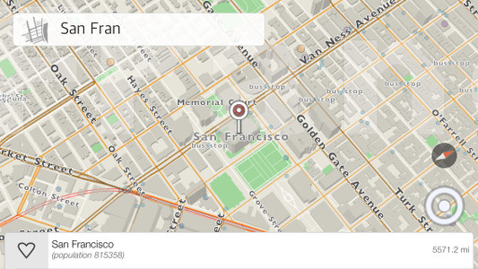
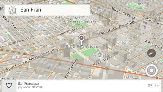
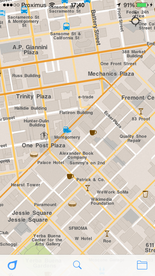
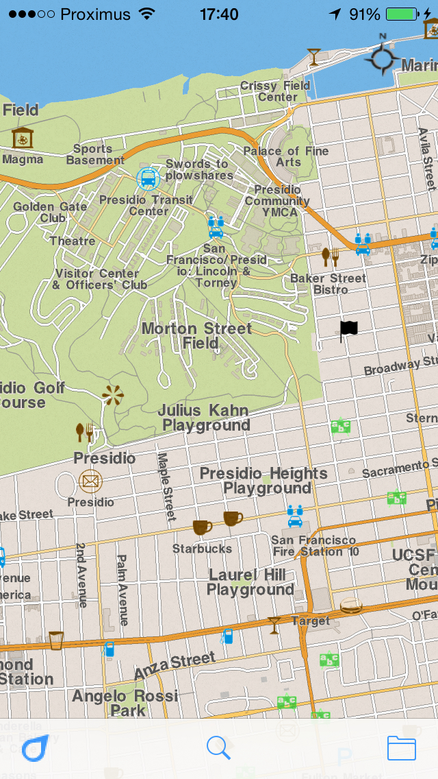
One of the features we are excited about in kMaps is the point of view functionality with 3-axis motion. To change the angle, put two fingers on the map and then swipe upward or downwards. Currently, there is a limitation for the minimal angle which will be changed with later releases of the product. This feature gives our maps a different look and can be more informative when reading the map. To make this a reality was not easy, so here is some insight into the process.
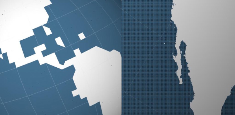
– kMaps can render an open world view with 3 billions vertices. The camera can move around the open world rendering large amounts of data. However, the app can’t load all the data at once so we just make a separate rendering cycle with different camera parameters. In other words, the app needs to fetch data constantly based on different camera views.
– Fetching data. This can be achieved different ways. One way is when the camera moves on 2-axises and the data around it renders on a plane. The second and more complicated way, which we chose to develop, is when the camera is completely flexible. It can be rotated in any direction on 3-axises and the data rendering surface can be more complex then just one plane. In this case, detecting rectangles, which are fetched from our database, is more complicated because of different projections and perspectives, so the app also needs to filter the results for areas which are not visible.
When we were researching and developing this we needed a nice and simple visualization software. We found, preinstalled, grapher from Apple. It was enough to make calculations and test the results with visualization. In our case it was a better solution than Octave.
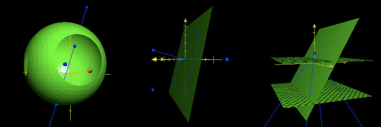
Our earlier experiments with a flying camera in the process of researching
Unfortunately, we are not as fast as we would like to be in the development of our new version of kMaps. The next version should be a great next step for us as we are unveiling our new visual engine. Here are a few sketches since December 2014.
Google Cardboard, 3D buildings, motion detection based on old engine. Try imagining our new one?
Twitter API Realtime
Realtime sunlight
A screenshot of new engine
We will be back soon with interesting news.
Google Cardboard, 3D buildings, motion detection based on old engine
Twitter API Realtime
Realtime sunlight
https://twitter.com/eukarpov/status/611811131825459200
A screenshot of new engine
https://twitter.com/eukarpov/status/615919244585365505
Our new release is out and we’ve implemented many things which you have told us are very important. Thank you for making our application better and for pointing out our mistakes. Keep doing what you do, we love it and appreciate it.
Some quick technical updates for you:
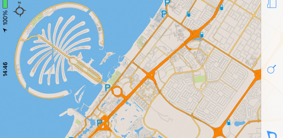
The main visual differences is: new style and prioritized POIs(points of interest) on the map. Also a map projection was fixed.
| Before | Now |
| Style | |
 |
  |
| Points of Interest | |
 |
  |
| The projection fixes | |
 |
 |
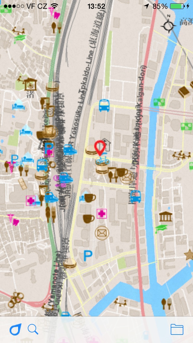
| Tokyo | |
 |
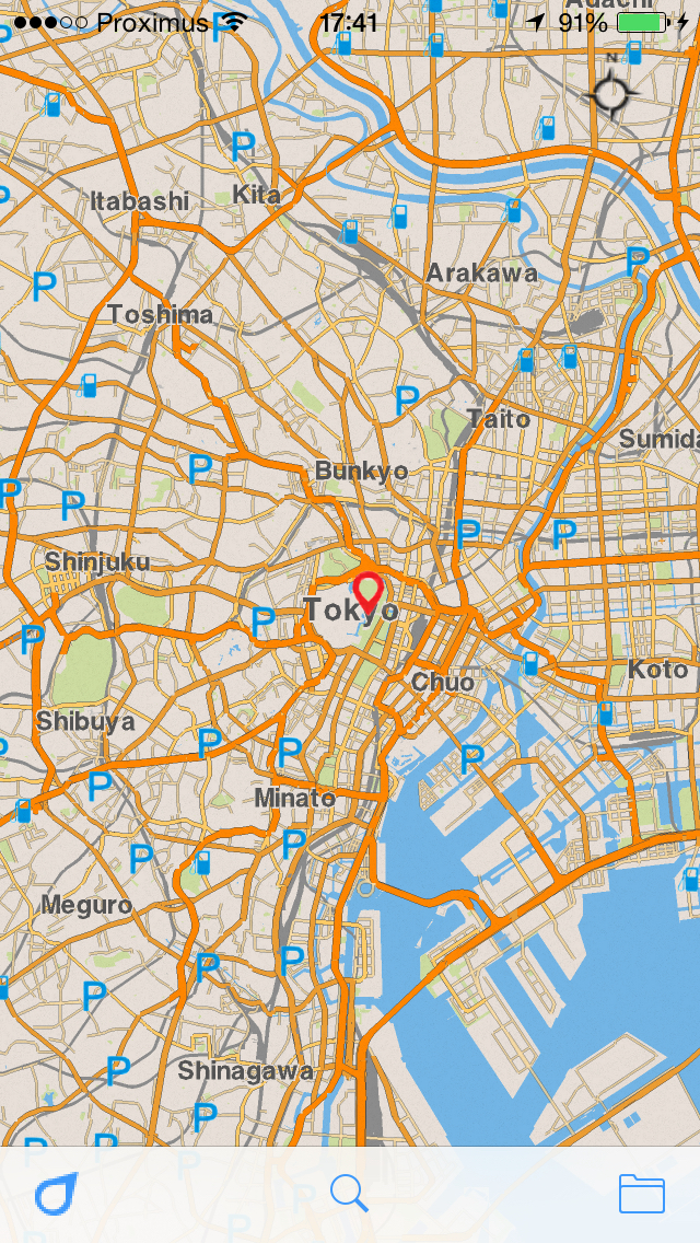 |
We also fixed some maps for Africa.
Again, your feedback is very important to us. Every piece of feedback goes straight back into helping improve the next version.
Install/Update kMaps now, share your experiences and impressions with your friends, and don’t hesitate to review the app on the AppStore or send some feedback to support@kmaps.co
We would like to give a special thanks to Ralph Hill, Abel La O Fernandez and Bonnie MacPherson. You have contributed great feedback which has lead to this improved this release. Thanks!
We have been 6 months silent after first version, which is quite long, but in that time we’ve done a lot.
First we would like to say thanks to those of you who gave us feedback and for helping to determine our priorities. Input is very important, especially when resources are very limited.
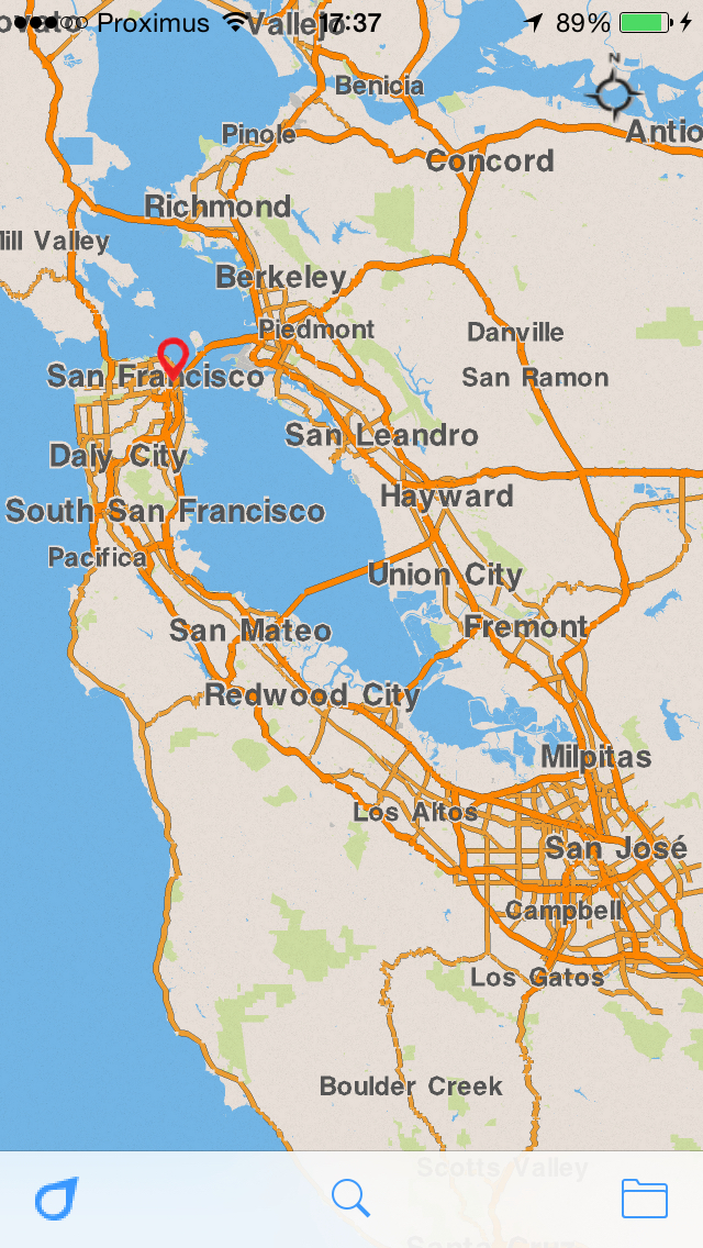
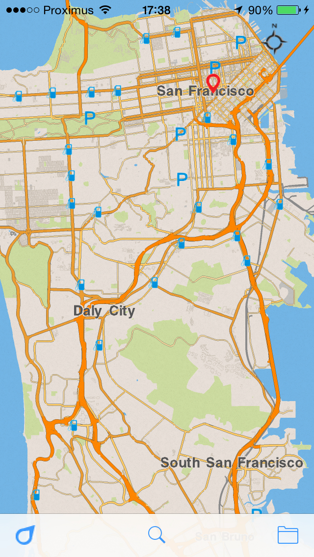
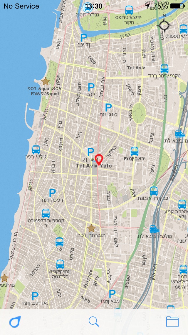
The main visual differences in this version, compared to the previous version, are: retina display, prioritize POI on the map, far zoom for map rendering and unlimited zoom for titles, uncrossed titles, name of cities and countries, support Arabic and Hebrew, tons of optimization.
| Before | Now |
| Max zoom | |
 |
 |
| POIs | |
 |
 |
| Tokyo | |
 |
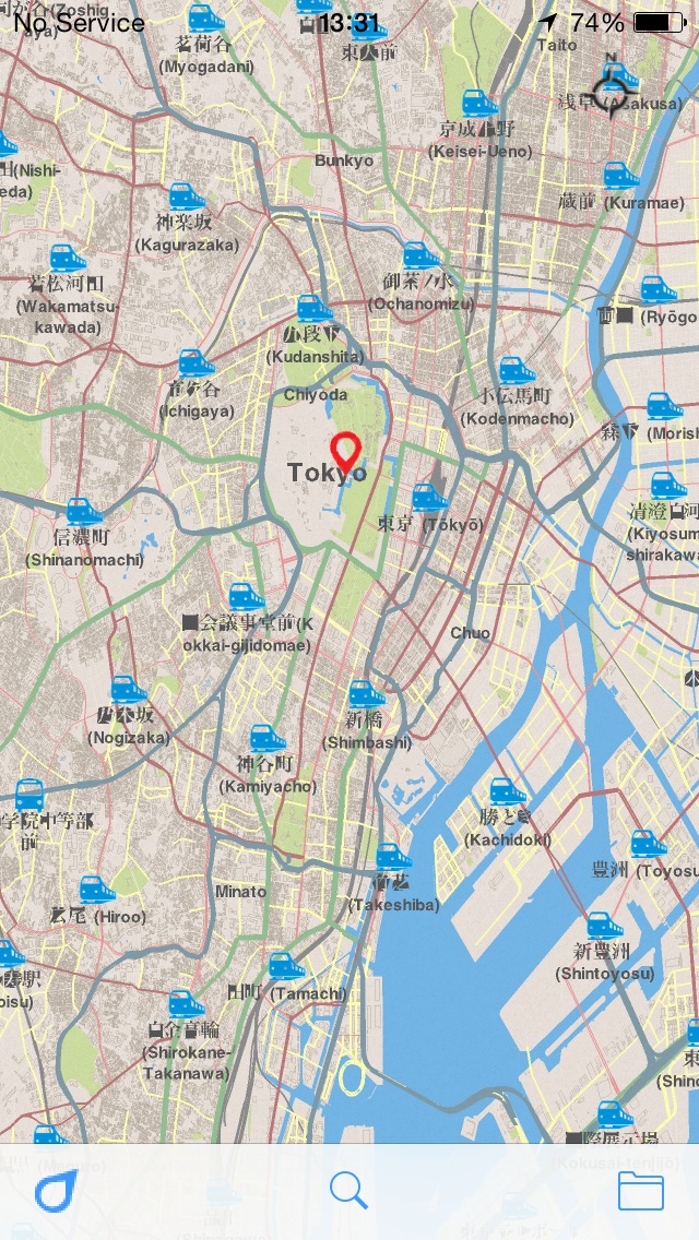  |
| Hebrew and Arabic | |
 |
 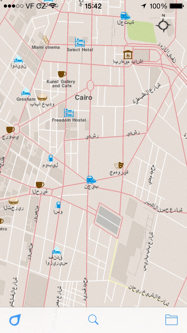 |
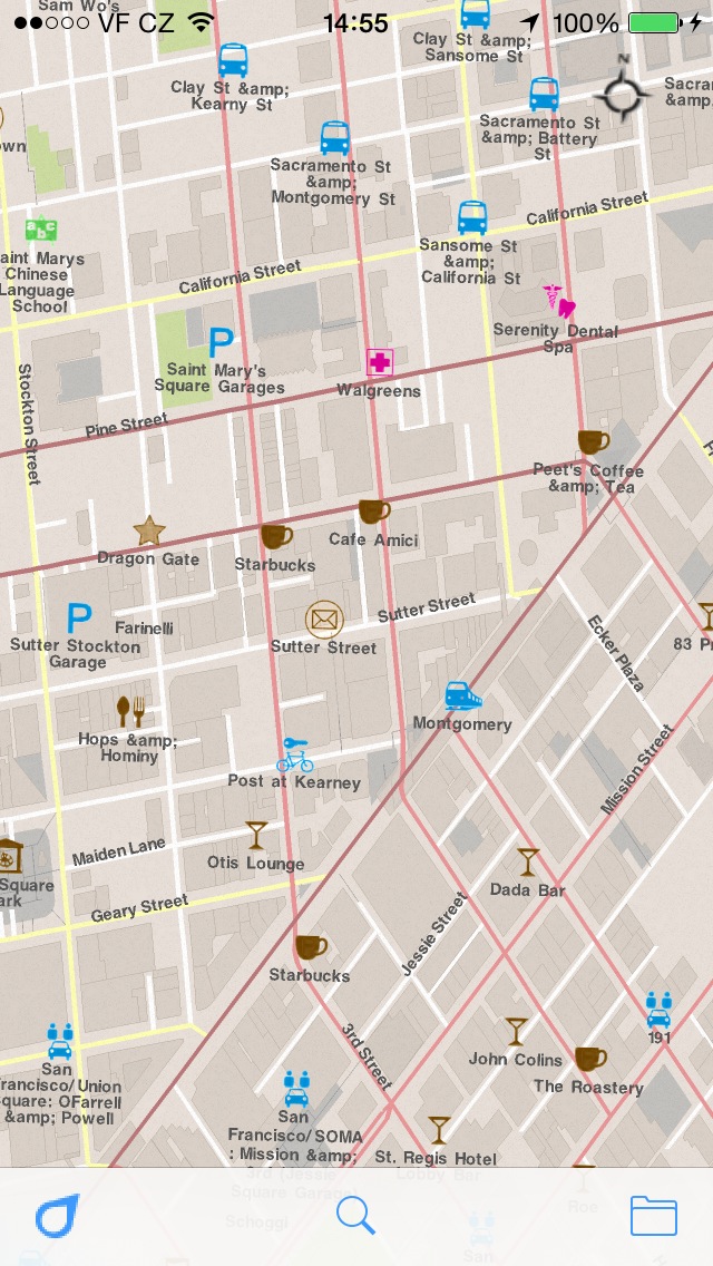
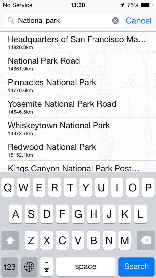
As you may have noticed, the first version supported only elementary search by specific titles. It was possible to find something, but it didn’t support much. Now we support search by city, country, or partial words and list multi-pin results on the map. The app also supports searching with accented words or to comfortably search without them. The search shows a result based on current map view. So, if you need to find something in other city you will need to move there first.
| Before | Now |
| Search by city or country | |
| Not available | 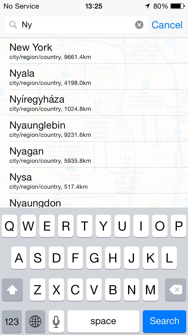 |
| Search by particular words | |
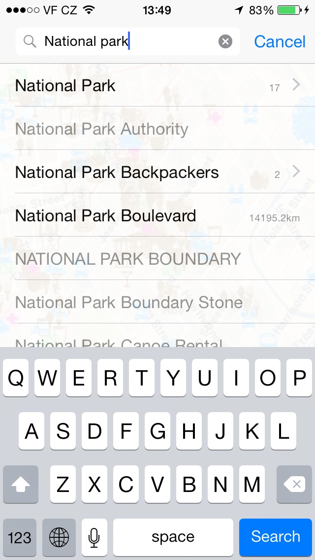 |
 |
| Multi-pin search result | |
| Not available | 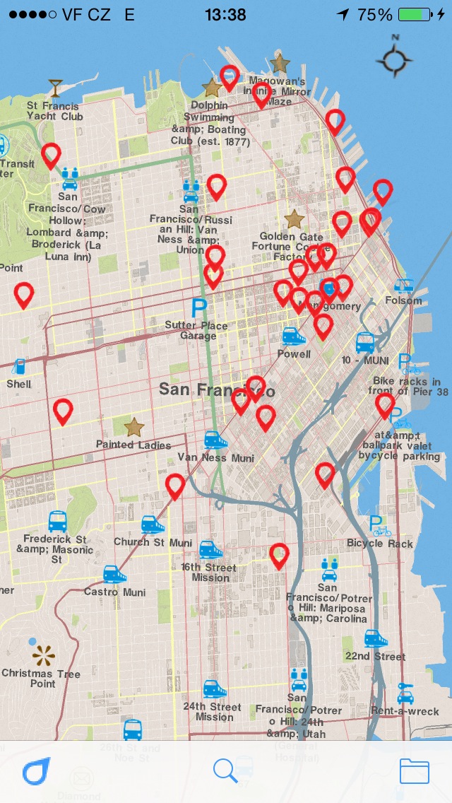 |
The user interface has been improved as well. Now you have the option to filter your downloaded maps and use gestures, like one finger zoom in/out. Which can be done by holding one finger on the map for a bit and then use a swiping motion upward or downward.
We also built more maps for Africa!
Again, your feedback is very important to us. It helps us focus on your real needs and problems. Every piece of feedback goes straight back into helping improve the next version. So, without your voices contributing to our development, this project wouldn’t be a possibility.
Install/Update kMaps now, share your experiences and impressions with your friends, and don’t hesitate to review the app on the AppStore or send some feedback to support@kmaps.co
Thanks!

kMaps is brewed in Prague and San Francisco by Evgeny Karpov and Farlen Mischel