Our Blog
This post discuses the ultimate goals of kMaps. It will touch on the initial ideas which lead to the development of our current product and will briefly discuss its future.
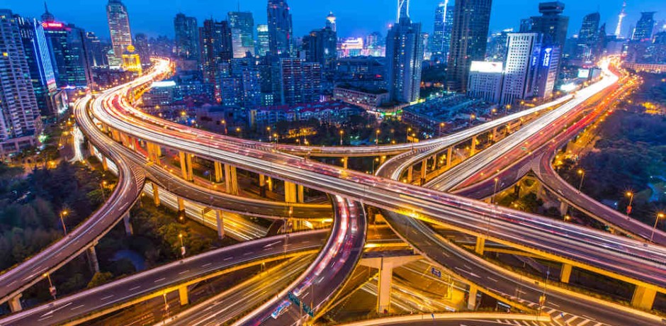
It was an idea that started years ago; a workaround to traffic jams. A thought of clear roads with no break lights in sight. It is a calming feeling, tossing those stressful bursts of road rage to the gutter. Not to be overdramatic, but every driver has been there; being rushed to make an appointment, only to be met around the corner by an army of cars. Why hasn’t anyone solved this issue? Why hasn’t anyone created a way to manage traffic flows? Traffic congestion does not only pertain to cars. What about pedestrian congestion, boat stalls, or plane delays? Why is there not one application to track all the traffic flows on this earth? With a large idea, comes even greater challenges.
The answer to this problem started as a web based solution, three and a half years ago. As development began, the potential user-base, began to change their habits. The mobile market took off and left web in its dust. Smartphones were everywhere and laptops started turning into tablets. The obvious decision was to pivot development to reflect a growing mobile user-base. After six months of development, a mobile platform began to take shape. With time, the first branch of the mobile interface was completed. It was an algorithm, allowing different stages of high quality, complex, vector graphic rendering. In other words, it bore us the possibility of rendering large, quality graphics. This step which will allow us to see traffic in real time, is necessary in order to address the issue of traffic congestion.
At this point, in order to connect to users on a mobile level, the decision was made to focus our attention on the travel industry. This way people would use our maps to help themselves get around. It was a perfect step because now we have a great audience that can interact with our product, while we provide them an essential utility. We then created a second algorithm, which compresses files to a very small size, as an aid to the user. If someone was to walk around with our maps in their pockets, we didn’t want to take up too much of their space. Currently, we have our first release of the app on the market and will soon be coming out with the second version. In addition, we will be releasing our WEB client and will be extending our app to all other mobile phone platformsThe traffic dilemma is a very complex one. It will take time to understand and solve it. We have created a stepping stone to understand how traffic works. Along the way we intend to supply our users with tools such as, offline navigation and fast, quality offline search. In the future, we plan on shifting over to the online maps market offering a vast majority of features, such as, realtime location sharing and tracking, location based texting and video sharing, while also incorporating social platforms. The possibilities are endless to the users ability as we imagine a fully customizable and interactive interface. kMaps will always reflect the wants and needs of its users, so all feedback will be greatly appreciated and considered for newer versions.
Comments ( 0 )
Leave A Comment

kMaps is brewed in Prague and San Francisco by Evgeny Karpov and Farlen Mischel